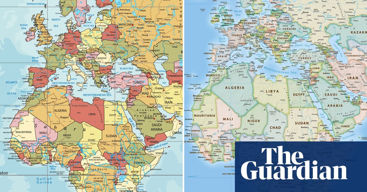
Navigation isn’t the only purpose of maps. You can display geographical, social, economic, and a whole host of other datasets on to maps. And since maps with fidelity to lat/long lines are no longer a requirement for navigation, there’s a good argument for accurately displaying relative positioning and size.

The Mercator projection is good in what it was made for: Navigation. You know. The whole purpose of maps.
Navigation isn’t the only purpose of maps. You can display geographical, social, economic, and a whole host of other datasets on to maps. And since maps with fidelity to lat/long lines are no longer a requirement for navigation, there’s a good argument for accurately displaying relative positioning and size.