The Mercator is a propaganda campaign to make Christian countries look big and powerful. Ask yourself why is it only “Christian” countries that are distorted.
Maps were used for navigation, which meant angles needed to be preserved. Christian nations colonised a lot, meaning they needed to have maps for navigation a lot too.
This isn’t some weird propaganda campaign, that makes no sense. Try making an angle-preserving map that doesn’t wildly distort the north and south of the world.
Besides, not sure how Christian the icy wastes of Greenland and Antarctica are.
Navigation isn’t the only purpose of maps. You can display geographical, social, economic, and a whole host of other datasets on to maps. And since maps with fidelity to lat/long lines are no longer a requirement for navigation, there’s a good argument for accurately displaying relative positioning and size.

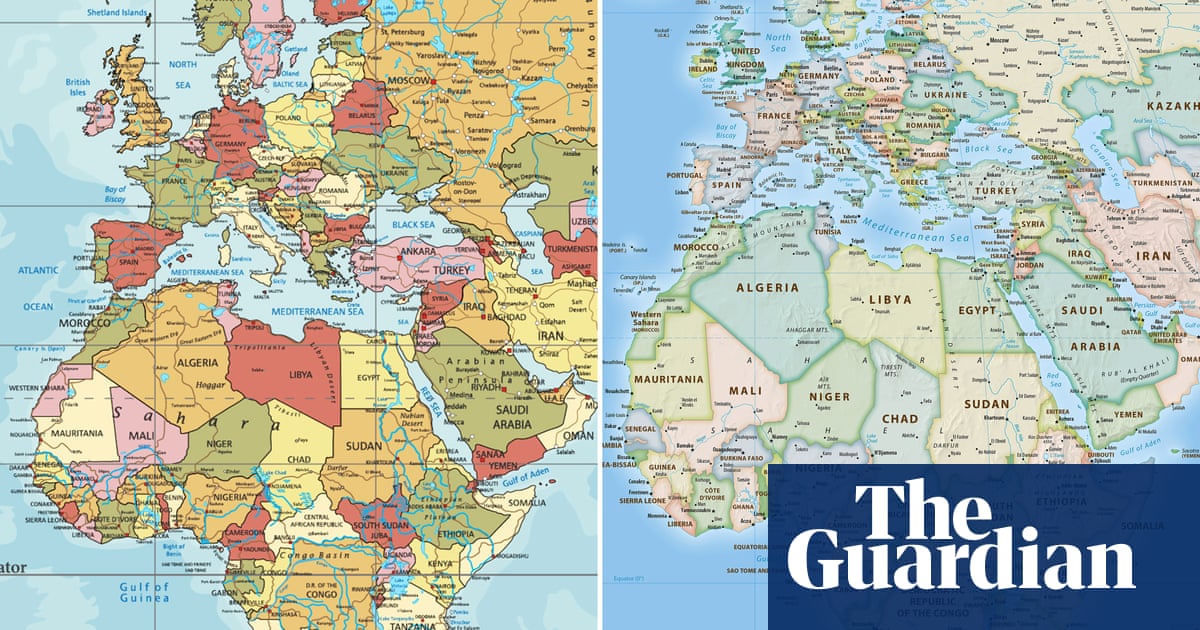
The Mercator is a propaganda campaign to make Christian countries look big and powerful. Ask yourself why is it only “Christian” countries that are distorted.
Edit: should have put this /s
Maps were used for navigation, which meant angles needed to be preserved. Christian nations colonised a lot, meaning they needed to have maps for navigation a lot too.
This isn’t some weird propaganda campaign, that makes no sense. Try making an angle-preserving map that doesn’t wildly distort the north and south of the world.
Besides, not sure how Christian the icy wastes of Greenland and Antarctica are.
The Mercator projection is good in what it was made for: Navigation. You know. The whole purpose of maps.
Navigation isn’t the only purpose of maps. You can display geographical, social, economic, and a whole host of other datasets on to maps. And since maps with fidelity to lat/long lines are no longer a requirement for navigation, there’s a good argument for accurately displaying relative positioning and size.
I know right! It’s all done to further Antarctica’s hegemony! Just look how huge it seems!
/uj If you want no distortions, get a globe.